The Altamont Property Group team is a valuable asset for the sale, purchase, or development of unique tracts of land.
How we are different:
WNC Market Knowledge – Land values are driven by a number of factors, including location, intended use, site improvements, utilities, zoning, topography, and natural capital. Our knowledge of different WNC local markets and ability to interpret market data sets us apart from the competition.
Natural Capital – Every tract of land offers a different natural environment. Examples include vegetation and animal species, merchantable timber, age of forests, water presence and quality, pastureland, tillable acreage, soil types, rainfall data, minerals, and viewsheds, to name a few. We evaluate these details in the greater context to effectively market tracts for sale or save buyers time by truly understanding what they are looking for.
Geographic Information Systems (GIS) – Oftentimes MLS information is very limited and not helpful in conveying information about land tracts. When interpreted and communicated correctly, GIS maps offer much information in a clearly understandable manner. We invest time in GIS research to obtain the details.
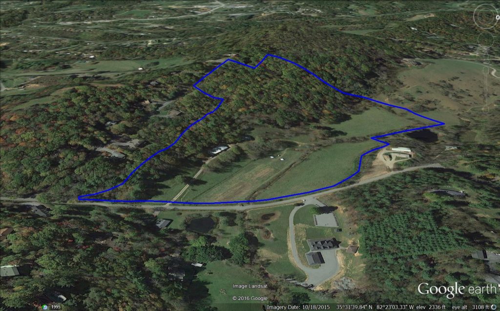
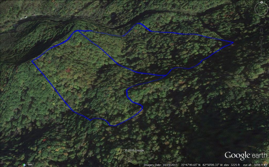
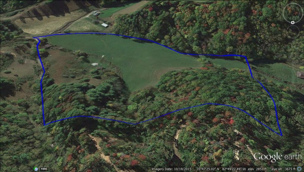
3D Mapping – Google Earth is a valuable tool for both the marketing and purchase of land tracts, allowing for properties to be visualized in 3D. Layers and waypoints can also be added to maps, identifying property features such as building sites, road locations, or points of interest. These map files are created for every Altamont Property Group listing to provide to prospective buyers; they are also created for buyer clients investigating a land tract of interest.


